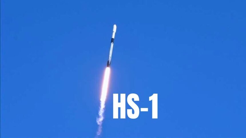
Pakistan has achieved a major milestone in space technology with the launch of its first Hyperspectral Satellite (HS-1). The satellite was successfully launched from China, marking a proud moment for the nation’s space program.
According to the Pakistan Space and Upper Atmosphere Research Commission (SUPARCO), this satellite uses advanced hyperspectral imaging technology, which allows it to capture ultra-clear images across hundreds of light bands. This means it can study land, vegetation, water, and even urban areas in much greater detail than ordinary satellites.
In a statement, SUPARCO explained that the HS-1 satellite will help scientists and experts make better decisions about agriculture, climate change, and natural resources. The satellite’s powerful sensors will help monitor crops, track water quality, detect pollution, and support disaster management in real time.
Chairman SUPARCO, Muhammad Yousaf Khan, thanked the Government of Pakistan for its strong support and called the project a “pivotal step” for the nation’s progress in space science. He said the data collected from HS-1 will “revolutionize agricultural productivity and strengthen climate resilience.”
Experts believe that the successful launch of HS-1 places Pakistan among the few countries using this modern space technology. It also opens the door for future collaborations and advancements in environmental research, mapping, and urban planning.
With this launch, Pakistan has not only moved forward in scientific achievement but also shown its growing commitment to using technology for sustainable development and national progress.