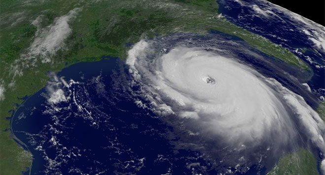
Cyclone Biparjoy, a very severe cyclonic storm in the Arabian Sea, has continued to strengthen. The storm has slowly moved in a north-northwest direction over the past 12 hours and now lies approximately 1,200km south of Karachi, at Latitude 14.0°N and Longitude 66.2°E.
Chief Meteorologist Sardar Sarfaraz reported that the cyclone’s maximum sustained surface winds range from 120 to 140 km per hour, with gusts reaching 160 km/h around the center of the system. The favorable environmental conditions, including a sea surface temperature of 30-32°C, low vertical wind shear, and upper-level divergence, are expected to further intensify the cyclone as it continues moving northwest.
At present, none of the coastal areas in Pakistan are under direct threat from the cyclone. The Pakistan Meteorological Department’s cyclone warning center in Karachi is closely monitoring the system and will provide updates accordingly, as per the Met Office. Sea conditions around the center of the cyclone are very rough, with maximum wave heights reaching 25-28 feet.
While the cyclone is not projected to make landfall in India, recent weather reports from neighboring Goa indicate that Cyclone Biparjoy, located about 860km southwest of the region, is likely to continue intensifying as it moves northwards. The current forecast suggests that the cyclone will move toward the Arabian Peninsula.
Authorities have been advised by the Met Office to remain vigilant and take necessary precautions. The favorable conditions and the potential for further intensification emphasize the importance of closely monitoring the cyclone’s trajectory and its impact on coastal regions.


